 Sale!
Sale! The official Appalachian Trail maps are essential hiking materials for both thru and section hikers. Each map is focused on the Appalachian Trail and overlaps with the neighboring maps, ideal for long-distance hikes and planning. The surrounding area and a
The official Appalachian Trail maps are essential hiking materials for both thru and section hikers. Each map is focused on the Appalachian Trail and overlaps with the neighboring maps, ideal for long-distance hikes and planning. The surrounding area and additional side trails are also included. An easy-to-use elevation profile shows the distance to the next campsite or shelter, side trails, and water sources. For added interest, maps indicate road crossings, waterfalls, and scenic areas. Maps are both water- and tear-resistant.
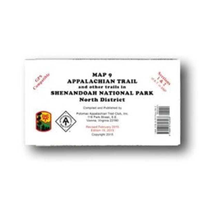
Map 9:Appalachian Trail and other trails in Shenandoah National Park North District
Published by Potomac Appalachian Trail Club: 1:62,500-scale, 100 foot contour interval topographic maps. GPS compatible. Revised 2015.
The official Appalachian Trail maps for Shenandoah National Park are also available for sale in an official Appalachian Trail Guide Set (57161) for more in-depth planning.
Cost - $25
Free Shipping We offer free shipping on orders over $30. Please check the free - shipping eligibility at checkout.
Delivery Time It usually takes [3-5] business days for standard shipping. Please note that this is an estimated time frame and may be affected by local holidays, and unforeseen circumstances.


Reviews
There are no reviews yet.