 Sale!
Sale! The Maryland and Northern Virginia edition covers 95 miles from Pen Mar on the Pennsylvania state line through Maryland, the Eastern Panhandle of West Virginia, and northern Virginia to the entrance of Shenandoah National Park in one planning guide and thr
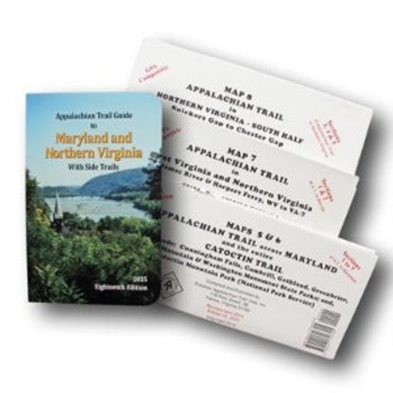
The Maryland and Northern Virginia edition covers 95 miles from Pen Mar on the Pennsylvania state line through Maryland, the Eastern Panhandle of West Virginia, and northern Virginia to the entrance of Shenandoah National Park in one planning guide and three maps.The pocket-sized planning guide contains background and interpretive information, points of interest, general advice, shelters, water sources, and road crossings. The format allows you to see where you are whether southbound or northbound. Each map is focused on the Appalachian Trail and overlaps with the neighboring maps. The surrounding area, out to about three miles, and additional side trails are also included. An easy-to-use elevation profile shows ups and downs and the distance to the next campsite or shelter, side trails, and water sources. For added interest, maps indicate federal or state lands, road crossings, waterfalls, and scenic areas. Maps are both water- and tear-resistant.
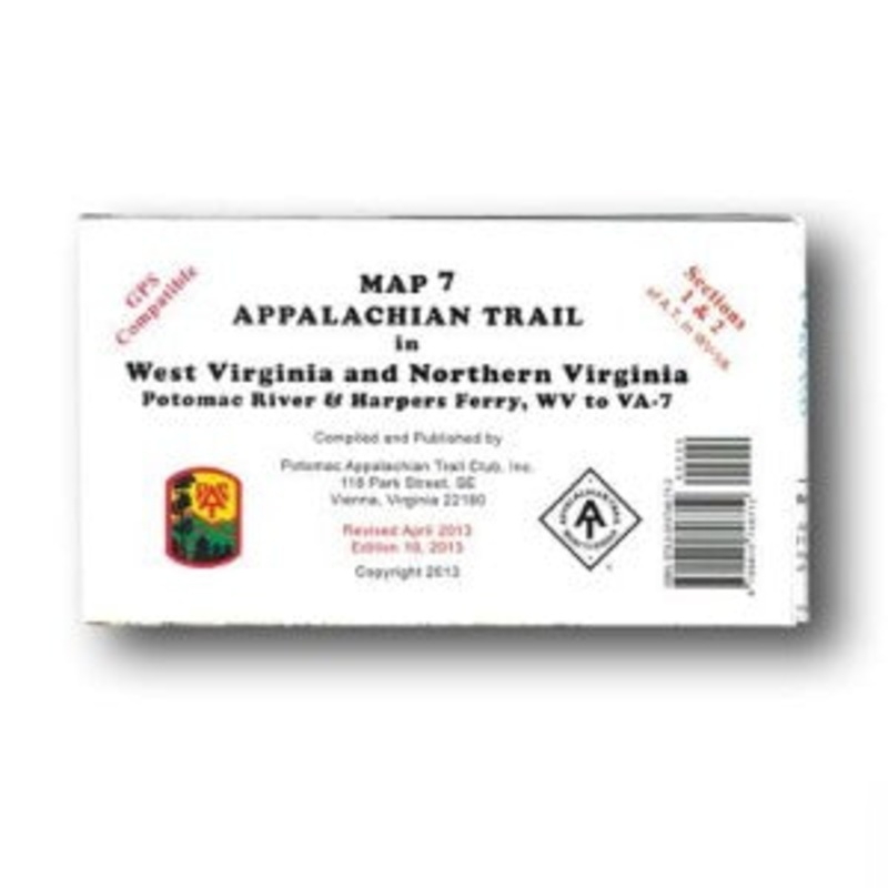
The official Appalachian Trail maps for Maryland and northern Virginia are also available for sale individually. See listing above for item number in ().
Published by the Potomac Appalachian Trail Club. Eighteenth Edition, 2015.
Cost - $25
Free Shipping We offer free shipping on orders over $30. Please check the free - shipping eligibility at checkout.
Delivery Time It usually takes [3-5] business days for standard shipping. Please note that this is an estimated time frame and may be affected by local holidays, and unforeseen circumstances.


Reviews
There are no reviews yet.